


9,1 km | 17,8 km-effort

Utilisateur


Application GPS de randonnée GRATUITE
 SityTrail
IGN / Instituts géographiques
SityTrail World
Le monde est à vous
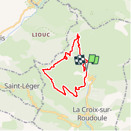
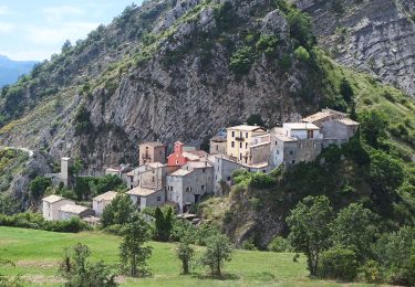
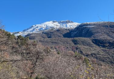
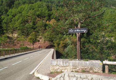
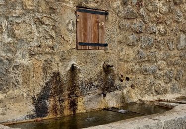
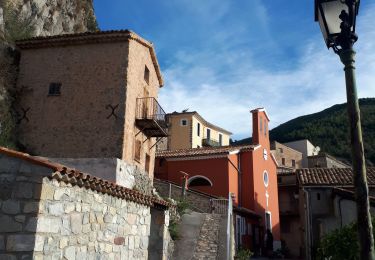
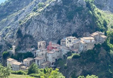
Randonnée Marche de 14,1 km à découvrir à Provence-Alpes-Côte d'Azur, Alpes-Maritimes, La Croix-sur-Roudoule. Cette randonnée est proposée par manouete.
balisage manquant par certains endroits , avoir un gps sinon possibilité de se tromper facilement ,


A pied
Marche

Marche
Raquettes à neige
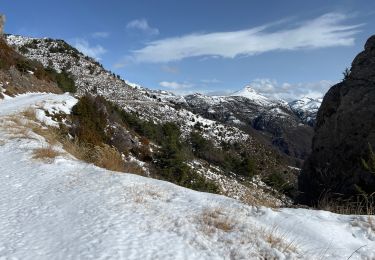
Raquettes à neige
Marche
Marche
Marche
Marche